
What Is a Topographic Map?
A topographic map is a detailed, accurate representation of the shape of the land surface and the features on it.
What Is a Topographic Map? Read More »
 Skip to content
A topographic map is a detailed, accurate representation of the shape of the land surface and the features on it.
What Is a Topographic Map? Read More »
A geological map is the foundation of almost every earth-science project. Before drilling a borehole, exploring for gold, designing a
Geological Mapping in Kenya Read More »
A geological map is more than a drawing. It is a database of locations, measurements, rock units, and interpretations. Geographic
GIS for Geological Mapping in Kenya Read More »

Geological mapping services are professional services in which qualified geologists document the rocks, soils, structures, and mineral occurrences of an
Geological Mapping Services in Kenya Read More »
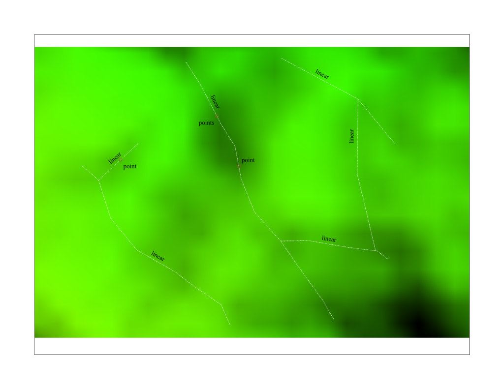
Satellite data offer several advantages. They provide regional coverage, allowing geologists to see large structures that span tens or hundreds
Structural Interpretation from Satellite Imagery Read More »
A continental rift is a zone where the lithosphere (the rigid outer shell of the Earth) is stretched and thinned.
The East African Rift System structural system Read More »

A geological map shows the distribution of rock units and surficial deposits as they would appear if soil and vegetation
How to Read a Geological Map? Read More »
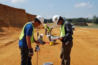
A geotechnical (or soil) investigation is a structured programme of fieldwork, laboratory testing, and engineering analysis that tells you what
Geotechnical Investigation Cost in Kenya Read More »
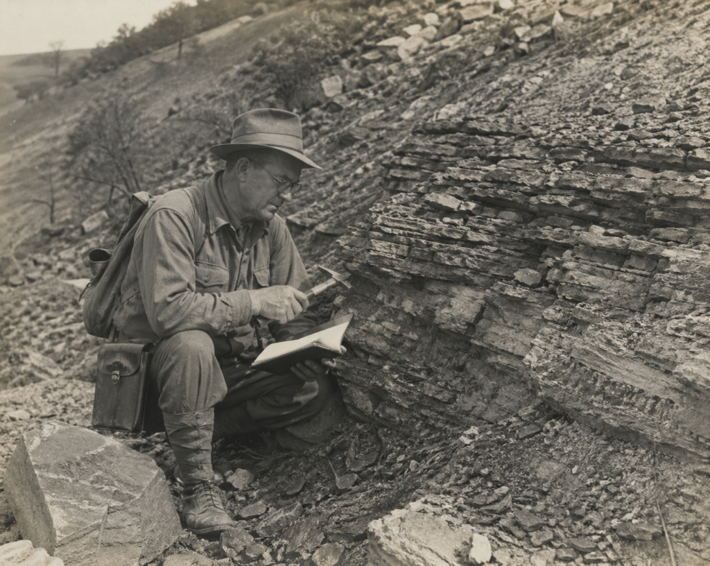
Every year Kenyan universities graduate geologists who are well grounded in theory but struggle to secure their first role. Employers
Geologist Training and Mentorship for Graduates Read More »
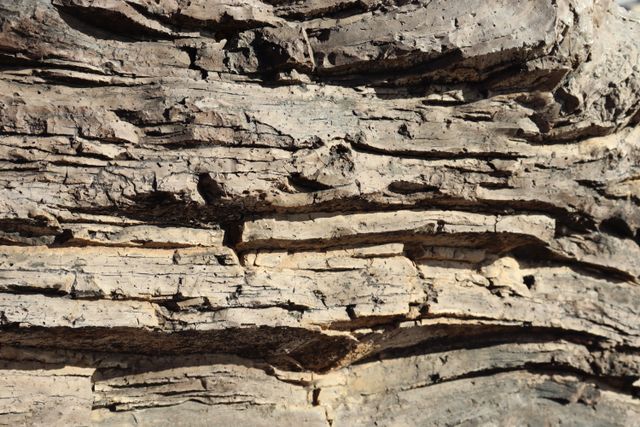
Drill target generation using structural geology means using the shape, orientation and movement history of faults, folds and veins to
Drill Target Generation Using Structural Geology Read More »

Mapping rock types across large, remote, or poorly exposed terrain has traditionally been slow, expensive work — requiring extensive fieldwork,
Automating Lithological Classification with Machine Learning and Satellite Data Read More »
Vegetation has always been the enemy of geological mapping. Dense forest canopy can hide fault scarps, landslide scars, and outcrops
How LiDAR Is Transforming Geological Mapping and Terrain Analysis Read More »
 Optimized by Seraphinite Accelerator
