We support groundwater development through hydrogeological investigations aimed at borehole siting and aquifer mapping.
Structural Geology & Mapping
We specialize in structural interpretation and field mapping to define fault systems, folds, lineaments, and lithological boundaries critical for mineralization zones. Our structural models are invaluable for mine planning and hazard assessments.
Services Include:
Regional & detailed structural mapping
Interpretation of aerial and satellite imagery
Tectonic framework analysis
Structural controls of mineralization
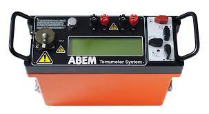
Terrameter SAS 300/1000
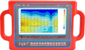
PQWT S500/300/150
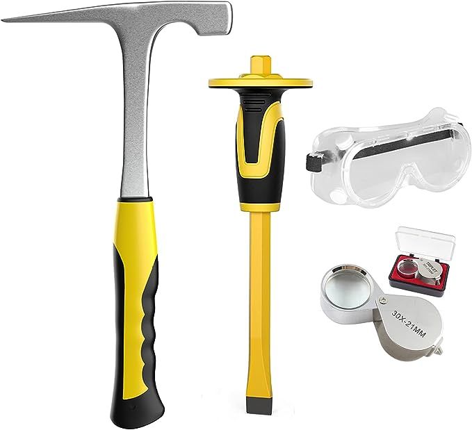
Geological Hammer
A geological hammer—also known as a rock hammer, geologist’s hammer, or rock pick—is a specialized tool used by geologists, paleontologists, and earth science professionals to break rocks and collect samples in the field. It’s one of the most iconic and essential tools in geology.
✅ Choosing the Right Geological Hammer
When selecting a hammer, consider:
Field type: Soft sedimentary rocks vs. hard metamorphic or igneous.
Weight: 16–22 oz for general fieldwork; heavier models for hard rock.
Safety: Look for shock-absorbing handles and use safety goggles.
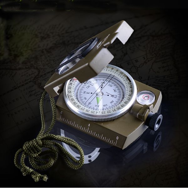
Geological Compass
A geological compass—also known as a Brunton compass, geologist’s compass, or compass clinometer—is an essential instrument used by geologists, surveyors, and field scientists to measure the orientation of geological features such as rock layers, faults, folds, joints, and mineral veins. It combines the functions of a magnetic compass, a clinometer, and a protractor, making it a vital field tool for structural geology and mapping.
✅ Best Practices
Adjust for magnetic declination based on your field location.
Keep away from metal objects when taking readings—they interfere with the magnetic needle.
Calibrate the clinometer periodically.
Protect the compass from falls and moisture.
Other Equipments For Safety
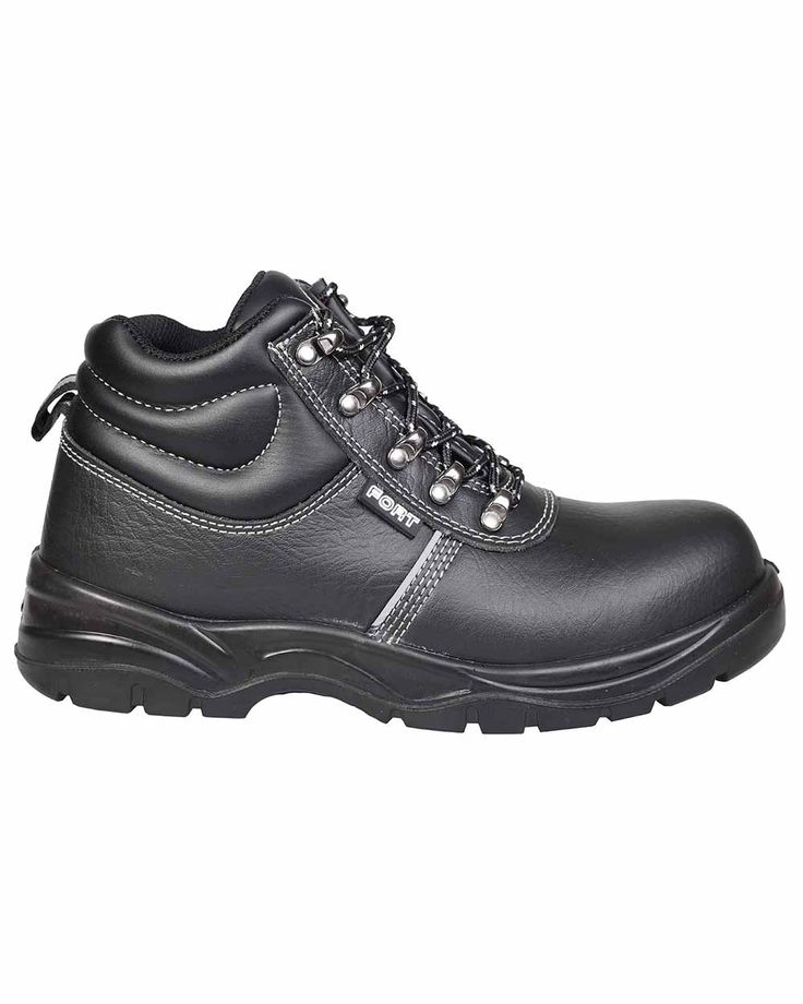
Safety Boots
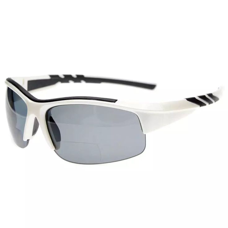
Sun Glasses
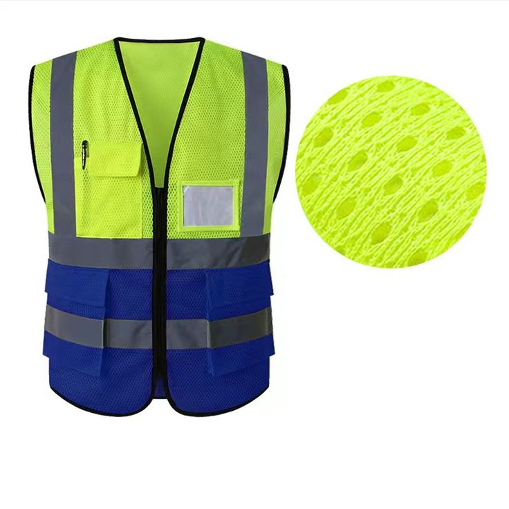
Reflector Jackets
Helmet
Topographical Maps (KENYA)
A topographical map (or topographic map) is a detailed, large-scale representation of natural and human-made features on the Earth’s surface. It uses contour lines to show elevation and terrain shape, along with symbols for roads, rivers, buildings, highlands, and vegetation.
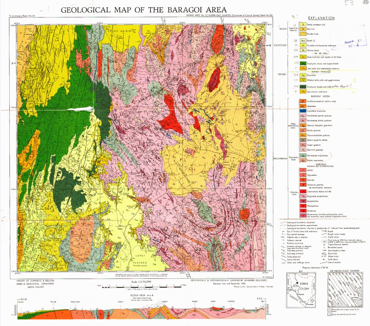
A geological map is a specialized cartographic representation that displays the distribution of rock units, structural features (faults, folds), and geological formations on the Earth’s surface. These maps often include cross-sections, stratigraphic columns, and symbology to indicate age, composition, and relationships between rock layers.
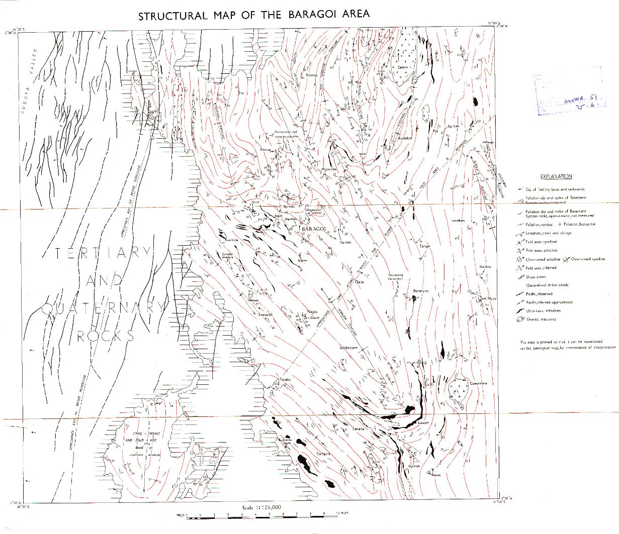
A structural map is a specialized geological map that focuses on the deformation and architecture of rock layers, including faults, folds, fractures, and tectonic features. These maps help geologists understand subsurface geology, tectonic history, and potential resource locations (e.g., oil, gas, minerals).