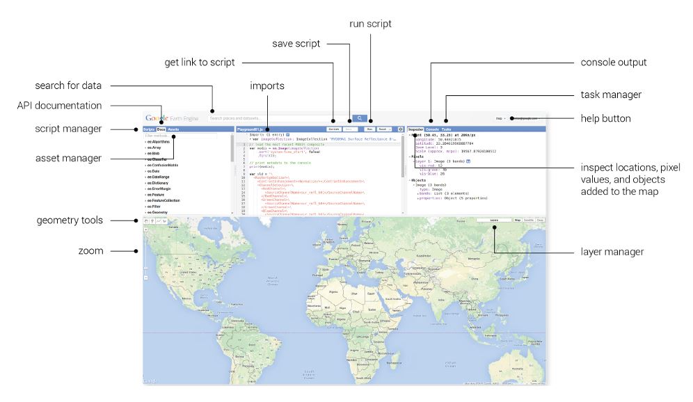
Using Google Earth Engine for Geology
Google Earth Engine (GEE) is a cloud-based geospatial analysis platform. It combines a multi-petabyte catalogue of satellite imagery and geospatial
Using Google Earth Engine for Geology Read More »
 Skip to content
Google Earth Engine (GEE) is a cloud-based geospatial analysis platform. It combines a multi-petabyte catalogue of satellite imagery and geospatial
Using Google Earth Engine for Geology Read More »
Almost every sector in Kenya now depends on location-based information. Water engineers need groundwater potential maps. Mining and exploration companies
GIS and Remote Sensing Consultants in Kenya Read More »
Many geologists assume that serious spatial work requires a costly commercial licence. That was largely true twenty years ago. Today,
Best Free GIS Software for Geoscience Read More »
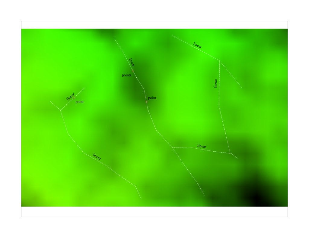
Satellites circle the Earth every day, capturing images that geologists can use to study landscapes far larger than any field
Remote Sensing for Geology in Kenya Read More »

Exploration is a numbers game with a high failure rate. The cost of walking, sampling, and drilling over a large
Remote Sensing for Mineral Exploration Read More »

A stereonet is a graphical method of representing three-dimensional orientation data on a two-dimensional circle. Imagine a transparent hemisphere, like
Stereonet Analysis in Structural Geology Read More »
Mineral prospectivity mapping (MPM) is the process of combining multiple spatial datasets to produce a map showing how likely each
Machine Learning for Mineral Prospectivity Mapping Read More »
Geology is a spatial science. Rocks, faults, soils, drill holes, samples, boreholes and mineral occurrences all have a location, and
GIS for Geologists: Practical Workflows Read More »
Mineral exploration begins with a simple problem: how do you decide where to spend limited money on ground work, drilling
Remote Sensing for Mineral Exploration Read More »
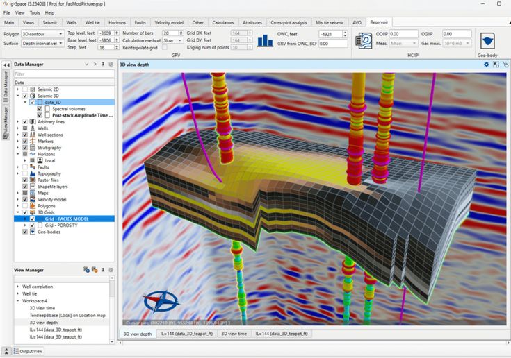
GeoAI (geospatial artificial intelligence) is the application of artificial intelligence, particularly machine learning and deep learning, to spatial and earth
How AI Is Changing Geological Interpretation Read More »
Natural hazards rarely strike without warning signs — the challenge has always been recognizing those signs across large, complex landscapes
GeoAI in Disaster Risk Management: Predicting Landslides, Floods, and Erosion Read More »
Geoscience has always been a data-heavy discipline — satellite imagery, drill logs, geophysical surveys, geochemical assays, and terrain models generate
What Is GeoAI? How Machine Learning Is Changing Geoscience Read More »
 Optimized by Seraphinite Accelerator
