 Skip to content
Geological Softwares.
These software tools play a critical role in modern geology by enabling accurate data analysis, visualization, and decision-making across various fields such as mining, hydrogeology, environmental studies, and geotechnical engineering
ArcGIS
ArcGIS is one of the most widely used Geographic Information System (GIS) platforms in geology. Developed by Esri, it allows geologists to collect, manage, analyze, and visualize spatial data. It is commonly used for geological mapping, mineral exploration, land use planning, and environmental impact assessments. ArcGIS supports advanced spatial analysis and integrates various datasets such as satellite imagery, topography, and geophysical data.
QGIS
QGIS (Quantum GIS) is a free and open-source alternative to ArcGIS. It provides powerful tools for spatial data analysis, cartography, and geospatial modeling. Geologists use QGIS for mapping geological formations, analyzing terrain, and managing spatial databases. Its flexibility and extensive plugin ecosystem make it highly popular, especially for academic research and cost-sensitive projects.

RockWorks
RockWorks is a specialized geological software used for subsurface data visualization and modeling. It is particularly useful in borehole data analysis, stratigraphic modeling, and groundwater studies. Geologists rely on RockWorks to generate cross-sections, fence diagrams, and volumetric models, making it essential for mining, geotechnical engineering, and environmental geology.
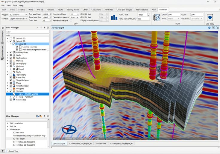
ENVI
ENVI (Environment for Visualizing Images) is specialized software for processing and analyzing remote sensing data. It is widely used in geological applications such as mineral identification, land cover classification, and environmental monitoring. ENVI supports satellite and aerial imagery analysis, making it crucial for large-scale geological surveys and exploration.
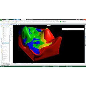
Vulcan
Vulcan is a comprehensive 3D geological and mine planning software developed by Maptek. It is extensively used in the mining industry for geological modeling, resource estimation, mine design, and production planning. Vulcan enables geologists and mining engineers to visualize ore bodies in three dimensions, analyze drillhole data, and design both open-pit and underground mines. Its strong capabilities in block modeling and geostatistics make it a powerful tool for optimizing mineral extraction and improving operational efficiency.

Datamine
Datamine is a suite of advanced mining software solutions developed by Datamine Software. It is widely used for geological data management, resource estimation, mine planning, and scheduling. Datamine offers a range of specialized modules that support different stages of the mining lifecycle, from exploration to production. Known for its strong geostatistical capabilities and data integration features, Datamine helps geologists and engineers make informed decisions regarding ore reserve evaluation and mine development.

Leapfrog Geo
Leapfrog Geo, developed by Seequent, is a powerful 3D modeling tool used in mineral exploration and mining. It enables geologists to build accurate geological models from drillhole and field data. The software is known for its intuitive interface and rapid modeling capabilities, helping professionals interpret complex geological structures efficiently.
In conclusion, modern geological software such as ArcGIS, QGIS, Surfer, RockWorks, Leapfrog Geo, ENVI, Vulcan, and Datamine have revolutionized the field of geology by enhancing accuracy, efficiency, and data-driven decision-making. These tools empower geologists, engineers, and researchers to transform complex datasets into meaningful insights, enabling better exploration, resource management, and environmental stewardship. As technology continues to evolve, mastering these platforms is essential for staying competitive and delivering high-quality, reliable geological solutions in today’s dynamic world.
Need Help?

