Skip to content

Geological mapping services are professional services in which qualified geologists document the rocks, soils, structures, and mineral occurrences of an area, and present the results as maps, cross-sections, databases, and reports. The service may be a standalone product or part of a larger programme, such as mineral exploration, a geotechnical investigation, a groundwater study, or a geothermal assessment.
The basic output is a geological map, but a good service delivers more: an interpretation of what the geology means for your objective, such as where to explore, where to drill, or how to design a foundation.
Types of Geological Mapping Services
Regional and reconnaissance mapping. Broad-scale mapping, often combined with satellite and geophysical interpretation, to understand the geological framework and identify promising areas. Typical for early-stage exploration and large concessions.
Detailed (prospect-scale) geological mapping. Large-scale mapping, commonly at 1:5,000 to 1:1,000 or finer, to document rock types, alteration, veins, and structures on a specific prospect. This is the workhorse of mineral exploration, guiding sampling and drilling.
Structural mapping. Mapping focused on faults, folds, shear zones, joints, veins, and kinematic indicators, with stereonet analysis and structural interpretation. Essential for structurally controlled deposits such as orogenic gold.
Alteration and mineralisation mapping. Documenting hydrothermal alteration zones, mineral assemblages, and ore-related features, sometimes supported by portable spectrometers or X-ray fluorescence analysers.
Engineering geological mapping. Mapping of rock and soil units, weathering profiles, discontinuities, slope conditions, and hazards for roads, dams, quarries, tunnels, and buildings.
Hydrogeological mapping. Mapping aquifer units, fracture zones, springs, and recharge areas, often combined with lineament analysis and geophysical surveys, to site boreholes and assess groundwater potential.
Geothermal surface mapping. Mapping volcanic units, faults, fissures, thermal manifestations, and hydrothermal alteration for geothermal prospect evaluation.
Quarry and construction material surveys. Mapping and sampling of aggregate, sand, murram, building stone, and industrial mineral resources.
Mine and pit mapping. Face mapping in operating or historical mines and artisanal workings, to support grade control, ground stability, and resource modelling.
Geohazard and environmental geology mapping. Landslides, subsidence, flooding, erosion, and contaminated land, used for planning and risk management.
Remote sensing and GIS-based mapping. Desktop compilation and interpretation from satellite imagery, drone surveys, DEMs, and geophysical data, producing digital maps and structural interpretations.
Drone and photogrammetric mapping. Unmanned aerial vehicle surveys to produce orthomosaics, 3D models, and DEMs for outcrop mapping, pits, quarries, and slopes.
A Typical Service Process
1. Scoping and briefing. The client and consultant agree on objectives, area, scale, deliverables, timeline, and budget. A good consultant asks questions about the end use, such as whether the map will support a licence application, a drilling programme, or an investor presentation.
2. Desk study. Review of existing maps, reports, imagery, geophysical data, and licence information, including checks on land tenure and mining cadastre status.
3. Planning and logistics. Field plan, safety assessment, access arrangements, community engagement, equipment, and staffing.
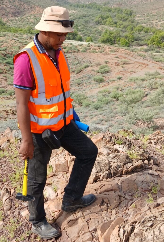
4. Fieldwork. Traverses, outcrop observation, structural measurements, sampling, photography, and data capture using GPS and digital apps.
5. Sampling and laboratory analysis (if required). Rock, soil, or stream sediment samples are submitted to an accredited laboratory for geochemical or petrographic analysis, with quality control samples.
6. Compilation and interpretation. Data are processed in GIS, stereonet analysis is carried out, geological contacts are drawn, and cross-sections and interpretations are prepared.
7. Reporting and delivery. The consultant delivers maps, data, and a technical report with findings, interpretations, and recommendations.
8. Review and follow-up. Presentation of results, discussion of recommendations, and planning of next steps, such as geochemical sampling, geophysics, trenching, or drilling.
What Deliverables Should You Expect?
A professional mapping package typically includes:
- Geological map at the agreed scale, with legend, scale bar, coordinate grid, datum, and north arrow, in digital (GIS-ready) and printed or PDF form.
- Cross-sections showing the interpreted subsurface geology.
- Structural data and analysis, including stereonets and rose diagrams.
- Field database with station locations, observations, structural measurements, and photographs.
- Sample register and results, with laboratory certificates and quality control summaries, if sampling was done.
- Technical report describing the geology, methods, results, interpretation, limitations, and recommendations.
- Target or prospectivity maps, where the objective is mineral or geothermal exploration.
- Data files, such as shapefiles or geodatabases, that you can reuse.
Make sure the contract specifies ownership of data, file formats, and coordinate systems, so that deliverables can be used by other consultants in future.
Regulations and Permits to Consider
Geological work in Kenya sits within a regulatory framework that varies with the activity. For mineral exploration, the Mining Act, 2016 governs prospecting and mining rights, and exploration work on licensed ground should align with the licence conditions. Before starting, check the status of the area on the mining cadastre portal to avoid overlap with existing licences or applications. Geological mapping on private or community land requires landowner and community consent, and work in protected areas, forests, and conservancies requires permission from the responsible authorities. Activities that disturb the ground, such as trenching and drilling, may trigger environmental impact assessment requirements under national environmental law and approvals from the National Environment Management Authority (NEMA). Regulations and procedures change, so confirm current requirements with the relevant authorities or an advisor before starting.
Cost Factors
Prices for geological mapping vary widely, and a responsible provider will quote after understanding your project. Key cost drivers include:
- Size and shape of the area and the mapping scale. Detailed mapping costs more per square kilometre than regional mapping.
- Terrain, vegetation, and access. Dense forest, steep slopes, or remote locations raise time and logistics costs.
- Outcrop abundance. Poorly exposed areas require more effort, pitting, or auger work.
- Team size and expertise. Specialist structural geologists or senior consultants command higher rates.
- Supporting data. Drone surveys, geophysics, satellite processing, and laboratory analysis add cost.
- Duration and logistics. Camp costs, transport, security, and local labour.
- Reporting requirements. Detailed technical reports, compliance with reporting codes, or independent review increase effort.
Ask for an itemised quote and clarify what is included, such as laboratory fees, accommodation, permits, and revisions. Be wary of unusually low quotes that omit fieldwork, cut corners on data quality, or provide only a desktop product described as a field map.
How to Choose a Competent Provider
Relevant experience. Look for demonstrated experience in your type of project and geological setting: greenstone gold, rift geothermal, basement groundwater, engineering geology, or others. Ask for sample reports or references.
Qualified people. Check the qualifications and field experience of the geologists who will do the work, not just the company. Membership of recognised professional bodies, such as the Geological Society of Kenya or international geoscience societies, and, where relevant, registration with applicable professional regulators, is a positive sign.
Methodology and quality control. A good provider can explain how they will map, record data, handle samples, and check quality. They should follow recognised standards and use accredited laboratories.
Equipment and technology. Look for modern GPS, digital data capture, GIS capability, and, where appropriate, drones and structural analysis tools.
Health, safety, and community practice. Reliable consultants have safety procedures, insurance, and respectful community engagement practices.
Transparent reporting. Maps and reports should clearly distinguish observation from interpretation and state limitations honestly.
Communication. Choose a team that listens, explains in plain language, and keeps you informed during the work.
Local knowledge. Familiarity with Kenyan geology, access, land tenure, and administrative processes can save time and avoid problems.
Red Flags
Be cautious if a provider cannot show relevant past work, promises guaranteed discoveries, refuses to share methodology, provides vague deliverables, ignores licensing and land access issues, uses uncalibrated or poorly documented sampling, or pushes you toward expensive follow-up work without justification. Geology is inherently uncertain, and honest consultants say so.
Getting the Most from Your Mapping Programme
Define a clear objective before you hire anyone. Share all existing data with the consultant, including previous reports and sampling results. Agree on a staged approach, with decision points at which you review results before committing to the next phase. Visit the field with the team if possible. Insist on a handover that explains the findings and how to use the data. Keep all deliverables in an organised archive, since mapping data remain valuable for years.
Frequently Asked Questions
How long does a mapping project take? It depends on size and complexity, from a few days for a small prospect to several months for a regional programme, plus time for analysis and reporting.
Can I use free government maps instead? They are a good starting point, but at regional scale and sometimes decades old. Detailed work on a specific property usually requires new mapping.
Do I need a map to apply for a licence? Requirements depend on the licence type and current regulations. A good geological base strengthens any work programme or application.
Who owns the data? This is set by the contract. Agree it in writing before starting.
Conclusion
Geological mapping services in Kenya range from regional reconnaissance to detailed structural, engineering, hydrogeological, and geothermal mapping. The best results come from clear objectives, a competent and experienced provider, sound methods, and transparent reporting. Invest time in defining the scope, checking regulatory requirements, and selecting the right team, and your geological map will become a lasting asset that guides exploration, construction, water supply, and land-use decisions with confidence.