Skip to content
Water beneath the surface can shape a development project just as much as anything above it. Groundwater conditions influence foundation design, construction methodology, long-term structural performance, and regulatory approval — yet they’re often underestimated until a problem forces attention: a flooded excavation, a failed septic system, or a well that runs dry after nearby development begins.
This guide covers what a groundwater or hydrogeology assessment involves, why it matters for developers, and what to expect from the process.
What Is a Hydrogeology Assessment?
A hydrogeology assessment evaluates the presence, movement, quality, and behavior of groundwater at and around a proposed development site. It answers practical questions that directly affect design and construction: How deep is the water table, and how does it fluctuate seasonally? Will groundwater need to be managed during excavation? Is the site suitable for on-site wastewater treatment? Could the project affect groundwater supplies relied upon by neighboring properties?
Depending on the project, this assessment may be a relatively contained study focused on construction dewatering needs, or a comprehensive regional analysis required for large developments, water supply projects, or sites in sensitive aquifer areas.
Why Groundwater Assessment Matters
Construction Planning and Cost Control
Groundwater is one of the most common sources of unexpected cost and delay in construction. Excavations that encounter groundwater require dewatering systems, and the scale of that system — from simple sump pumps to extensive well point systems — depends heavily on subsurface permeability and the volume of water involved. Without proper assessment beforehand, contractors are left estimating dewatering requirements on the fly, often leading to costly change orders once actual conditions are encountered.
Foundation and Structural Design
A high water table affects foundation design in several ways: it can reduce soil bearing capacity, increase the risk of hydrostatic pressure on foundation walls and basements, and in some cases create conditions favorable to soil liquefaction during seismic events. Structural engineers need accurate groundwater data to design appropriately, including waterproofing, drainage systems, and uplift resistance where relevant.
Wastewater and Septic System Design
For developments not connected to municipal sewer systems, hydrogeology directly determines whether and how on-site wastewater treatment can be implemented. Soil permeability, depth to groundwater, and proximity to water bodies or wells all factor into septic system design and regulatory approval, and many jurisdictions require a hydrogeological assessment specifically for this purpose.
Water Supply Assessment
For developments planning to rely on groundwater wells — common in rural or semi-rural areas — a hydrogeology assessment evaluates aquifer yield, water quality, and sustainability of the proposed extraction rate. This protects both the developer, who needs assurance of adequate long-term supply, and neighboring water users, who could be affected by excessive extraction.
Contamination and Environmental Risk
On sites with a history of industrial, agricultural, or other potentially contaminating land use, groundwater assessment often forms part of a broader environmental due diligence process, evaluating whether contaminants have migrated into groundwater and what remediation or management measures might be required before development proceeds.
Regulatory Compliance
Many jurisdictions require hydrogeological assessment as a condition of development approval, particularly for projects involving groundwater extraction, on-site wastewater systems, sites near sensitive water bodies, or developments within designated aquifer protection zones.
What a Hydrogeology Assessment Typically Involves
Desktop Review
As with other geoscience investigations, the process begins with a review of existing information: regional hydrogeological maps, well records from nearby properties, historical land use, and any prior environmental or geotechnical studies conducted in the area. This helps the consulting team anticipate likely groundwater conditions and design an efficient field program.
Monitoring Well Installation
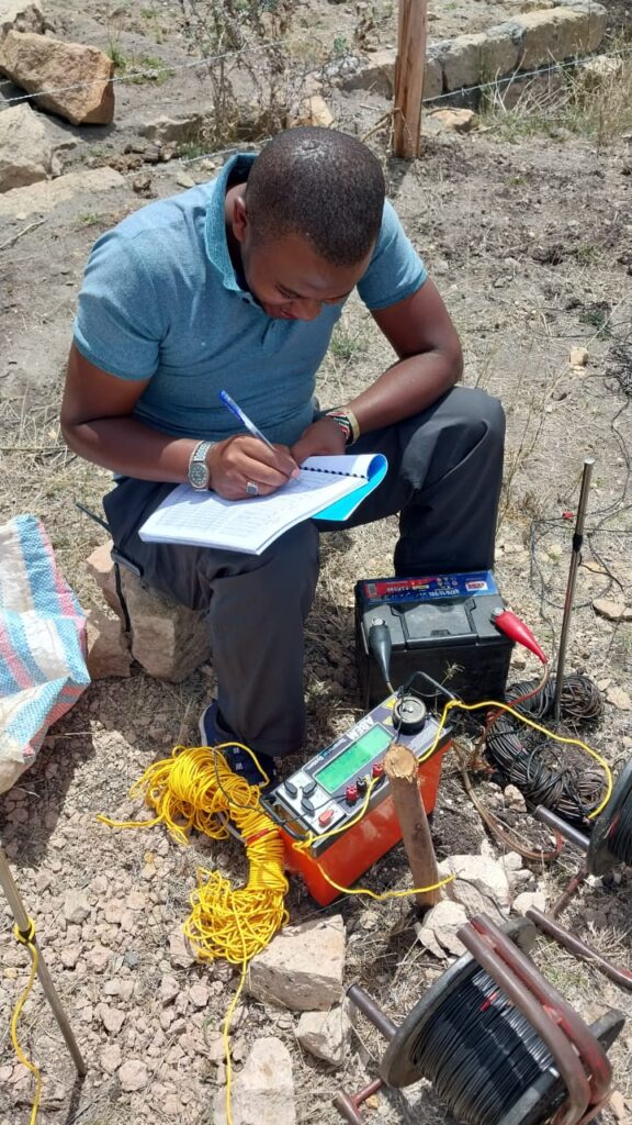
Where groundwater levels need to be directly measured, monitoring wells or piezometers are installed at strategic locations across the site. These allow for accurate measurement of water table depth and, when monitored over time, seasonal fluctuation — an important consideration since a site investigated during a dry season can show a substantially different water table than the same site during wetter months.
Aquifer Testing
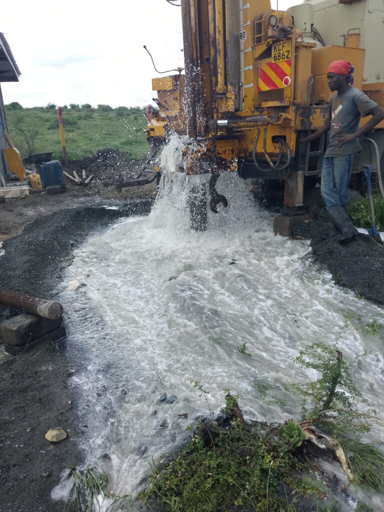
For projects involving groundwater extraction, pumping tests are often conducted to determine aquifer characteristics such as hydraulic conductivity, transmissivity, and sustainable yield. This data is essential for designing wells appropriately and for demonstrating that proposed extraction rates won’t deplete the aquifer or negatively affect neighboring users.
Groundwater Quality Sampling
Water samples are collected and laboratory-tested to assess quality — relevant both for potential water supply use and for identifying any contamination that might affect development plans or require remediation.
Groundwater Flow Modeling
For larger or more complex projects, hydrogeologists may develop groundwater flow models to predict how the aquifer will respond to proposed extraction, dewatering, or land use changes. These models help evaluate potential impacts before they occur, rather than discovering problems after the fact.
Common Challenges Developers Encounter
Seasonal variability. Groundwater levels can vary significantly between wet and dry seasons, and a single-point-in-time measurement can be misleading if not properly contextualized against longer-term seasonal patterns.
Perched water tables. In some settings, a shallow “perched” water table sits above the true regional water table, trapped by a localized impermeable layer. This can create misleading impressions of groundwater depth if not correctly identified during investigation.
Cumulative impacts. In areas with multiple developments drawing on the same aquifer, individual projects can seem sustainable in isolation but contribute to a larger cumulative overdraft problem — a consideration increasingly scrutinized by regulators in groundwater-stressed regions.
Interaction with surface water. Groundwater and surface water systems are often connected, meaning groundwater extraction or contamination can have downstream effects on streams, wetlands, or other surface water features, sometimes triggering additional regulatory requirements.
Integrating Hydrogeology into Project Planning
The most effective approach is to commission a hydrogeological assessment early in project planning, ideally before finalizing site layout or building design. This allows findings to genuinely inform decisions — foundation type, dewatering strategy, wastewater system design, or well placement — rather than being retrofitted into a design that’s already largely finalized.
For larger or more sensitive projects, ongoing groundwater monitoring throughout construction and operation is often warranted, both to verify that predicted conditions match reality and to demonstrate regulatory compliance over the life of the project.
Choosing a Hydrogeology Consultant
Groundwater behavior is highly site- and region-specific, shaped by local geology, climate, and land use history. An experienced hydrogeology team brings not just technical measurement capability, but the regional knowledge needed to interpret results in context — distinguishing a genuine long-term water supply concern from a temporary seasonal fluctuation, for instance.
Planning a development that could be affected by groundwater conditions? Our hydrogeology team can help you understand what’s beneath your site and design around it with confidence. Get in touch to discuss your project.