Skip to content

Geological surveys play a fundamental role in mineral exploration, forming the scientific backbone upon which successful mining ventures are built. These surveys involve systematic investigations of the Earth’s crust to identify, characterize, and evaluate mineral resources. In modern extractive industries, geological surveys integrate multiple disciplines, including geophysics, geochemistry, remote sensing, and structural geology, to generate reliable subsurface models and reduce exploration risks.
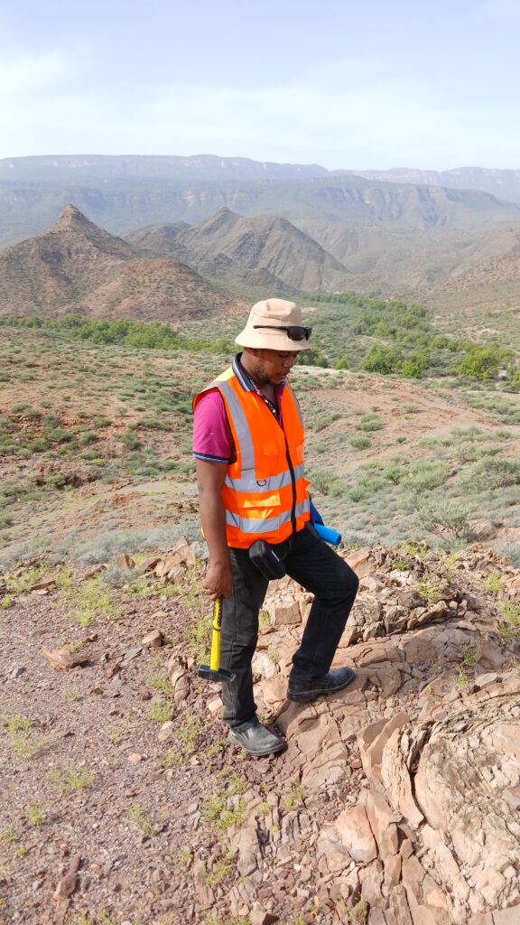
At the early stages of mineral exploration, geological surveys provide baseline data that guides decision-making. Regional geological mapping helps identify prospective terrains based on lithological units, tectonic settings, and mineralization patterns. For instance, greenstone belts are often associated with gold deposits, while sedimentary basins may host coal, oil, or gas resources. Understanding these geological frameworks allows exploration teams to focus efforts on high-potential areas.
Geophysical surveys are an integral component of geological investigations. Techniques such as magnetic, gravity, seismic, and electrical resistivity surveys enable geologists to infer subsurface structures without direct excavation. Magnetic surveys, for example, are particularly useful in identifying iron-rich formations and structural discontinuities, while seismic methods are widely used in hydrocarbon exploration. These methods significantly reduce exploration costs by minimizing unnecessary drilling.
Geochemical surveys complement geophysical techniques by analyzing the chemical composition of soils, rocks, and water. Anomalies in elemental concentrations often indicate the presence of mineralization. For example, elevated levels of copper or zinc in soil samples may point to underlying ore bodies. Geochemical dispersion patterns also help delineate mineralized zones and guide drilling programs.
Drilling remains the most definitive method for confirming mineral deposits, and geological surveys provide the framework for designing efficient drilling campaigns. Core samples obtained during drilling are analyzed for mineral content, structure, and grade distribution. This data is crucial for resource estimation and classification under international reporting standards such as JORC or NI 43-101.
In addition to exploration, geological surveys contribute to environmental and social impact assessments. By understanding the geological and hydrogeological conditions of a site, potential environmental risks such as groundwater contamination, subsidence, and slope instability can be anticipated and mitigated. This ensures compliance with regulatory requirements and promotes sustainable mining practices.
Technological advancements have significantly enhanced the effectiveness of geological surveys. Geographic Information Systems (GIS) and 3D modeling software enable the integration and visualization of complex datasets, improving interpretation accuracy. Machine learning algorithms are also being applied to identify patterns in geological data, further enhancing exploration efficiency.
In conclusion, geological surveys are indispensable in mineral exploration, providing the data and insights necessary to identify viable mineral deposits. Their role extends beyond discovery to include risk management, environmental protection, and resource optimization. As demand for minerals continues to grow, the importance of robust geological surveys in supporting sustainable and efficient exploration cannot be overstated.