Skip to content

Hyperspectral imaging is one of the more genuinely exciting tools in modern exploration geology — and also one of the most frequently oversold. Investors sometimes hear “hyperspectral” and imagine a technology that can see straight through soil to a buried ore body. Exploration geologists know better: it’s an extraordinarily precise mineral-mapping tool with real limits, and understanding those limits is what separates useful application from wasted budget.
How Hyperspectral Imaging Actually Works
Where standard satellite sensors like Landsat or Sentinel-2 capture a handful of broad spectral bands (typically 4–13), hyperspectral sensors capture hundreds of narrow, contiguous bands across the visible, near-infrared, and shortwave infrared spectrum. This density of spectral information lets analysts detect subtle absorption features caused by specific mineral chemistry — not just “this area has clay minerals,” but often which specific clay mineral, and something about its crystallinity or chemical composition.
This distinction matters enormously in exploration. Different alteration minerals form at different temperatures, pH conditions, and distances from a mineralizing center. Being able to distinguish kaolinite from illite from muscovite, for instance, can help geologists map zonation patterns within a hydrothermal system and infer where, relative to the surface expression, the core of a mineralizing system is likely to sit.
What Hyperspectral Imaging Can Reliably Tell You
Mineral identification at the surface. For exposed rock, soil, or weathered material, hyperspectral data can identify specific alteration minerals — clays, micas, carbonates, iron oxides, and certain sulfates — with a level of specificity optical multispectral imagery simply can’t match.
Alteration zonation mapping. Because different minerals mark different positions within a hydrothermal system (propylitic, phyllic, argillic, potassic zones in a porphyry system, for example), hyperspectral mapping can help reconstruct the spatial architecture of an alteration halo, which in turn helps geologists infer where a system’s core might lie.
Vectoring toward mineralization. In systems where alteration mineralogy changes predictably toward the ore zone, hyperspectral data can provide a “vector” — a directional clue pointing exploration teams toward the most prospective part of a broader anomaly.
Rapid, non-destructive assessment of drill core and samples. Hyperspectral core scanning has become a standard tool in many exploration labs, providing consistent, operator-independent mineral logging at a speed manual logging can’t match.
What Hyperspectral Imaging Cannot Tell You
This is the part that gets glossed over in promotional material, and it deserves equal weight.
It cannot see through soil, vegetation, or overburden. Hyperspectral sensors detect what’s on the surface. If mineralization or its alteration halo is buried under even a modest thickness of transported soil or regolith, spaceborne or airborne hyperspectral imagery will show nothing useful. In deeply weathered tropical terrain, this is a serious practical constraint.
It cannot directly measure ore grade or tonnage. Detecting the presence of iron oxide or clay alteration says nothing quantitative about metal grade at depth. Grade estimation requires assay data from sampling and drilling — no remote sensing technique substitutes for that.
It cannot confirm economic mineralization on its own. Many alteration systems detectable by hyperspectral imaging are barren or sub-economic. Alteration is a necessary indicator in many deposit models, not a sufficient one.
Vegetation and atmospheric interference degrade results. Dense canopy, cloud cover, and atmospheric water vapor absorption bands all reduce data quality, and airborne or spaceborne datasets in humid, vegetated regions often require significant correction and still carry more uncertainty than data from arid terrain.
Practical Applications in East African Exploration Settings
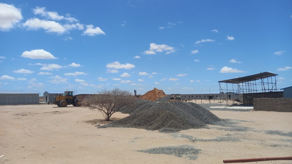
Hyperspectral imaging performs best in exposed, arid-to-semi-arid terrain — precisely the setting found across large parts of the Rift Valley and its flanking basement terranes. In these zones, alteration systems associated with orogenic gold, base metal, and REE-bearing pegmatite targets are often well exposed, making hyperspectral surveys a genuinely efficient first-pass tool ahead of ground sampling programs.
In more deeply weathered or vegetated terrain — common in parts of western and central Africa’s greenstone belts — hyperspectral imaging’s utility drops considerably, and exploration teams generally need to lean more heavily on geochemical soil sampling, geophysics, and structural interpretation from radar or LiDAR instead.
How Investors and Exploration Managers Should Read Hyperspectral Results
When a company reports hyperspectral survey results, the useful questions to ask are: What specific minerals were identified, and what does their spatial distribution suggest about system architecture? Has any of this been ground-truthed with field sampling or assay data? And critically — is the surrounding terrain exposed enough that a surface survey is even likely to detect a buried system in the first place? A hyperspectral anomaly with no ground follow-up is a hypothesis, not a discovery.
The Bottom Line
Hyperspectral imaging is one of the sharpest tools available for surface mineral characterization, and in the right terrain it can meaningfully accelerate target generation and reduce exploration risk. But its value comes specifically from what it does well — precise surface mineralogy — not from any claim to see through cover or substitute for drilling. Treated as a targeting tool rather than a discovery tool, it earns its place in almost any modern exploration program.