Skip to content
It’s one of the first questions any client asks when scoping a groundwater project, and it’s also one of the hardest to answer with a single number. Hydrogeological survey costs vary enormously depending on site conditions, project scope, and how much of the standard methodology a project actually requires. What follows is a realistic breakdown of where the money goes, what drives costs up or down, and how to think about budgeting for a survey that actually delivers a reliable result rather than a false economy.
Why There’s No Single Price Tag
Two projects that sound similar on paper — “we need a borehole for a rural health center” versus “we need a borehole for a rural school” — can have dramatically different survey costs depending on site accessibility, existing data availability, aquifer complexity, and how thoroughly the client wants the process de-risked before committing to drilling. A survey conducted in an area with good existing hydrogeological data and straightforward basement geology will cost meaningfully less than one in a poorly documented, structurally complex, or logistically difficult location. Understanding the specific cost drivers matters more than chasing a generic industry benchmark figure.
Breaking Down the Cost Components
Desk Study and Data Compilation
The lowest-cost stage in absolute terms, typically involving a hydrogeologist’s time reviewing existing geological maps, satellite imagery, climate data, and any available prior records. Costs here scale mainly with data availability and complexity — a well-documented area with existing borehole records nearby is quick to assess; a poorly documented area requires more time interpreting remote sensing data and regional geological inference to build an adequate conceptual model.
Field Reconnaissance and Mapping
Costs here are driven primarily by site accessibility and area size. A single, easily accessible site near an existing road network involves modest travel and field time; a remote site requiring days of travel, or a larger area requiring mapping across multiple candidate locations, increases both time and logistics costs substantially.
Geophysical Survey
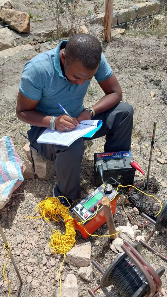
Typically among the larger line items in a hydrogeological survey budget, geophysical costs depend on the method chosen (electrical resistivity is generally the most cost-effective for groundwater targeting), the number of survey lines or soundings required, and equipment mobilization costs, which are proportionally much higher for remote or difficult-to-reach sites than for accessible locations near a consultancy’s base of operations.
Drilling
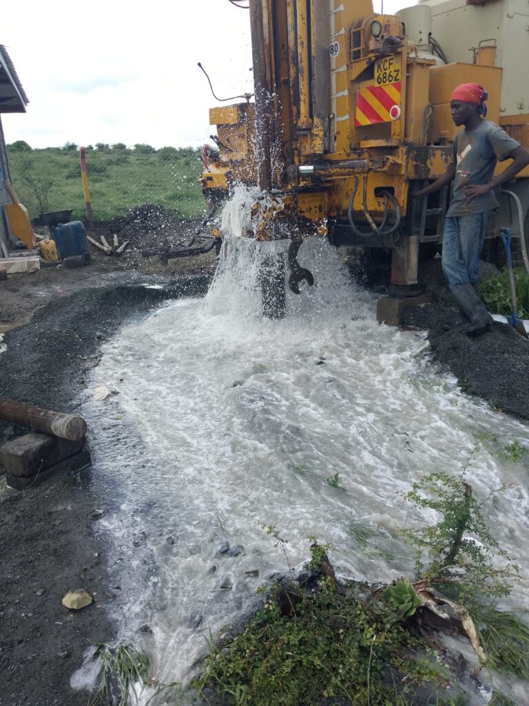
Usually the single largest cost component in the overall project, though technically distinct from the survey itself. Drilling costs scale with depth, ground conditions (drilling through hard crystalline basement costs more per meter than softer sedimentary formations), casing and screen specifications, and site accessibility for drilling equipment. This is precisely why the survey stages preceding drilling matter so much economically — every dollar spent improving siting confidence before drilling reduces the risk of the far larger drilling investment being wasted on a dry or low-yielding hole.
Test Pumping and Water Quality Analysis
Costs scale with test duration (a properly extended 24-72 hour constant-rate test costs more in labor and equipment time than a brief informal test, but delivers dramatically more reliable sustainable yield data) and the scope of water quality parameters analyzed, which should be matched to the intended use of the water and any regionally relevant contaminant concerns.
Reporting and Technical Documentation
Often underweighted in client budgeting, but professional reporting — documenting methodology, findings, and recommendations in a form that can support regulatory compliance, funding applications, or future reference — represents genuine value, particularly for projects that may need to demonstrate due diligence to funders, regulators, or future site users.
Factors That Drive Costs Up
Remote or difficult-access sites increase mobilization costs across every stage, from field mapping through drilling equipment transport. Poor existing data coverage requires more extensive desk study and reconnaissance work to build an adequate conceptual model from limited information. Complex geology — highly fractured basement, deeply weathered terrain, or structurally complicated settings — often requires more geophysical survey lines or soundings to achieve adequate siting confidence. Deep target aquifers increase both geophysical survey depth requirements and drilling costs, since deeper investigation methods and deeper drilling both cost more than shallow equivalents. Multiple candidate sites requiring comparative assessment increase field and geophysical costs proportionally, though this investment often pays for itself by avoiding a poor siting decision at a single, inadequately evaluated location.
Factors That Can Reasonably Reduce Costs
Good existing regional data — prior hydrogeological studies, nearby borehole records, or existing geological mapping — can meaningfully reduce desk study and reconnaissance time without compromising survey quality. Accessible, well-understood terrain with straightforward geology may require fewer geophysical soundings to achieve adequate confidence than a structurally complex site would. Combining multiple nearby sites into a single mobilization can spread fixed logistics costs across several targets, improving overall project economics for organizations developing multiple water points in a similar area.
Where Cutting Corners Actually Costs More
The temptation to reduce upfront survey costs — skipping geophysics, shortening pumping tests, relying on informal local knowledge instead of proper reconnaissance — is understandable given budget pressures, but it consistently proves to be a false economy. A dry or low-yielding borehole, drilled without adequate siting investigation, typically costs as much or more to drill as a properly sited one — the difference being that the properly sited hole actually produces sustainable water, while the poorly sited one may need to be abandoned entirely, effectively doubling total project cost once a second attempt is required. The survey stages exist specifically to protect the much larger drilling investment that follows them.
Questions Worth Asking When Budgeting a Survey
What existing data is available for the target area, and how much desk study time will genuinely be needed versus assumed? Does the site’s geology and terrain suggest straightforward or complex conditions, and has the consultant scoped geophysical coverage accordingly? Does the proposed pumping test duration meet recognized standards for reliable sustainable yield estimation, or has it been shortened to reduce cost at the expense of data quality? These questions matter more for long-term project success than simply comparing headline quotes between consultants.
The Bottom Line
Hydrogeological survey costs are genuinely variable, and any consultant offering a firm quote without first understanding site conditions, data availability, and project scope should be treated with some skepticism. The more useful framing for clients isn’t “what’s the cheapest survey,” but “what level of survey investment adequately protects the much larger drilling investment that follows it” — because in groundwater development, the money saved by cutting survey corners is consistently smaller than the money lost when that shortcut leads to a failed or underperforming borehole.