Skip to content

Gold exploration in Africa blends old-fashioned fieldwork with modern geophysics and data science. The continent hosts some of the world’s most important gold terrains, from the Tanzania Craton to the Birimian belts of West Africa, and many of them are hidden under deeply weathered soil. This article explains the gold exploration methods used in Africa, why each one works, and how they are combined to move from a regional idea to a drill-ready target.
Where Africa’s Gold Comes From: Greenstone Belts and Orogenic Gold
Much of Africa’s gold sits in Archaean and Palaeoproterozoic greenstone belts. These are ancient, folded belts of volcanic and sedimentary rocks, usually greenish because of low-grade metamorphism, wrapped around older granites. The Archaean Tanzania Craton (which extends into western Kenya), the Zimbabwe and Kaapvaal cratons, and the Birimian terrains of Ghana, Mali, Burkina Faso and Côte d’Ivoire are classic examples.
The most common deposit style is orogenic gold. In plain words, hot fluids moved through large faults and shear zones during mountain-building and deposited gold in quartz veins and altered wall rock. Because faults and folds control where the gold sits, exploration is largely a hunt for structures: bends, intersections, and contacts between rock types where fluids were focused.
The Challenge of Regolith-Covered Terrain
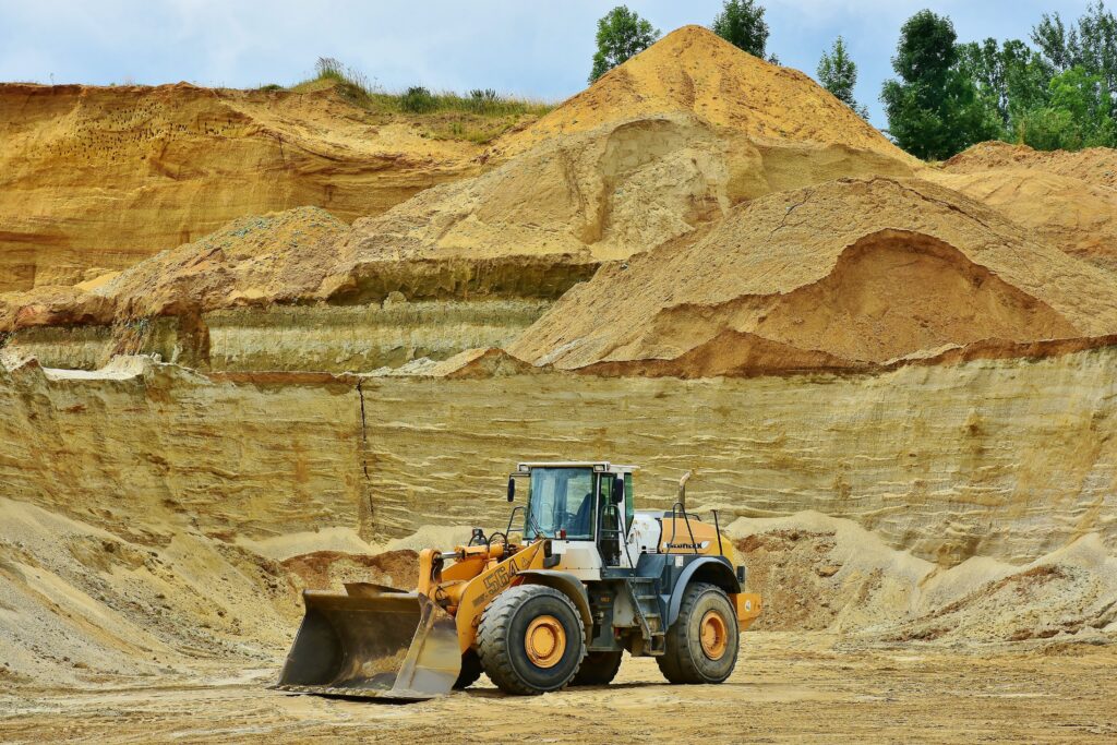
Across much of tropical Africa, the original rock is buried under regolith, a thick blanket of weathered rock, laterite and transported soil that may be tens of metres deep. Outcrops can be rare, and surface geochemistry may be diluted, displaced or hidden.
This changes the exploration toolkit. Explorers rely on methods that either see through cover (geophysics, remote sensing), sample through it (auger, aircore), or interpret how metals move in weathered soils. Understanding the landscape history, such as old surfaces, river channels and laterite caps, is as important as understanding the rock.
Stream Sediment and Soil Sampling
Stream sediment sampling is a classic regional tool. Gold and its pathfinder elements are shed from rocks upstream, so a sample from a drainage reflects the entire catchment above it. A cluster of high values points back to a source area worth following up.
Soil sampling then refines the search. Samples are collected on lines at regular spacing (for example 100 m apart for lines and 25 m between samples), assayed for gold and associated elements, and mapped. A continuous gold-in-soil trend often traces a buried vein. In western Kenya’s Migori sector, for example, companies have reported soil anomalies with gold values of up to 236 parts per billion, which is strong enough to merit trenching and drilling.
BLEG: Finding Gold in Wide-Open Drainages
BLEG stands for bulk leach extractable gold. A large stream-sediment sample, often several kilograms, is treated with a leaching solution to dissolve fine gold, and the solution is analysed. Gold is famously “nuggety,” meaning it is unevenly distributed, so a small sample can miss it. BLEG reduces that nugget effect and is useful for low-cost screening of large drainage basins.
Auger, Aircore and RC Drilling
In deeply weathered ground, shallow drilling is the workhorse.
- Auger drilling: a cheap, light rig that screws into soft soil to reach the base of weathering, where a sample of the saprolite (rotten rock) or the interface with fresh rock is taken.
- Aircore: air-driven drilling that returns small samples from deeper in the regolith and into the top of bedrock, often used for broad grids.
- Reverse circulation (RC): a faster hammer drill that tests mineralisation down to a few hundred metres, with samples collected as rock chips.
Diamond core drilling follows when geologists need structural information, fresh rock, and high-quality samples for resource estimation.
Airborne Magnetics and Radiometrics
Airborne surveys are often the first modern tool applied to an African project. Magnetic data map rock types and structures: iron-rich banded iron formations, mafic volcanics and dykes stand out, and breaks in magnetic patterns show faults and shear zones. Radiometric data record natural radioactivity from potassium, thorium and uranium in the top few tens of centimetres of ground. Because gold-related alteration can change potassium content, radiometrics can help map alteration and granite boundaries.
Many African countries, including Kenya through its national airborne geophysical survey programme, have collected regional datasets that are available to explorers. Together they give an affordable structural map before any boots reach the ground.
Induced Polarisation (IP) and Other Ground Geophysics
Induced polarisation measures how well the ground stores a small electrical charge. Sulphide minerals such as pyrite and arsenopyrite, which often accompany gold, give a strong response. IP is therefore used to trace sulphide-bearing zones beneath cover. It is not a direct measure of gold, and a strong response may simply be harmless sulphides, so results are always checked with geology and drilling. Ground magnetics and electromagnetic surveys are used in the same way to sharpen targets.
Satellite Remote Sensing
Satellite imagery gives cheap, wide coverage. Multispectral data (for example from Landsat, Sentinel-2 or ASTER) can highlight iron-oxide and clay alteration, vegetation changes and drainage patterns. Radar and digital elevation models reveal lineaments, which are straight features that may mark faults. These data help prioritise ground and plan fieldwork, particularly in remote or insecure areas, but they need ground-truthing.
Artisanal Workings as Indicators
Artisanal and small-scale miners have often found gold long before companies arrive. Old pits, shafts and tailings are useful clues, showing where visible gold or rich quartz veins occur and sometimes revealing the structural trend of a vein system. Geologists map these workings, sample them, and look for extensions at depth.
Working with artisanal communities carries responsibility. Tunnels can be unstable, ownership disputes can be sharp, and livelihoods depend on access to the same ground. Responsible explorers consult early, avoid conflict, and consider formal pathways for small-scale miners.
Structural Mapping
Because orogenic gold is structurally controlled, geologists spend considerable effort measuring the orientation of foliation, folds, veins and faults. The aim is to decide which structures were open when fluids flowed, and where they intersect favourable rocks like iron-rich formations or competent intrusions. Structural models guide the angle and direction of drill holes, and mistakes at this stage can mean drilling parallel to the ore body and missing it.
Examples from Africa
- Tanzania Craton (Geita and North Mara): Geita is a major gold mine hosted in banded iron formation and volcanic rocks of the Archaean Sukumaland greenstone belt, and North Mara, in the Mara region near the Kenyan border, is a long-running operation now run by Barrick. Both illustrate how structure, iron-rich host rocks and intrusions combine to localise gold. Both are cited here as general examples, and production and ownership details should be checked with the operators.
- Migori, western Kenya: The Migori Greenstone Belt is the continuation of the Tanzanian greenstone terrain into Kenya. Past work includes soil geochemistry, mapping of quartz veins, and drilling, and published studies describe structural control of mineralisation. Red Rock Resources reports a resource of about 723,000 ounces on its Migori project.
- West Africa: Birimian greenstone belts in Ghana, Mali and Burkina Faso have been explored with airborne geophysics, regional soil and auger programmes, and aircore drilling through thick laterite cover. Their success has made West Africa one of the most active gold exploration regions in the world.
Drilling Discipline and QA/QC
Good exploration is not only about finding gold, but also about proving it credibly. A robust programme includes:
- clear logging of rock type, alteration and veins;
- consistent sampling intervals and secure chain of custody;
- insertion of blanks (barren rock), duplicates and certified reference standards;
- use of accredited laboratories and check assays at a second lab;
- surveyed hole positions and downhole directions.
Poor sampling, nuggety gold and weak QA/QC have undermined many resource estimates. Investors should look for competent-person sign-off and transparent reporting under JORC, NI 43-101 or similar codes.
How the Methods Fit Together
A typical African gold project follows a logical path. Satellite imagery and airborne magnetics identify structural corridors. Stream sediments, BLEG and soil geochemistry locate gold anomalies. IP and ground magnetics sharpen the targets. Auger and aircore drilling test the weathered zone, then RC and diamond drilling test the fresh rock. Structural mapping and QA/QC run through every stage. Each step costs more than the last, which is why cheap methods are used first.
Conclusion
Gold exploration methods used in Africa are shaped by geology and landscape: structurally controlled orogenic gold in ancient greenstone belts, hidden beneath deep tropical weathering. The best programmes combine regional datasets, careful geochemistry, targeted geophysics and well-controlled drilling, and they respect the artisanal miners and communities already on the ground. For Kenyan readers, the Migori and Tanzania examples show how much of this knowledge is directly applicable at home.
Facts, resource figures, licences and tenders change, so confirm details with official sources and company filings. This article is general information, not investment or legal advice.