Groundwater is often called the world’s hidden buffer against climate variability — the reservoir that keeps wells flowing during drought years, that sustains rivers during dry seasons, that communities fall back on when rainfall fails. But that buffer isn’t infinite, and for decades, tracking how it’s actually changing at large scale was one of hydrology’s most persistent blind spots. Satellite gravity measurements have changed that, providing, for the first time, a genuinely global, continuous picture of how groundwater storage is responding to a changing climate.
Why Groundwater Trends Were So Hard to Track
Groundwater, by definition, can’t be observed directly from above. Historically, understanding regional groundwater trends meant compiling data from monitoring wells — a network that is sparse, unevenly distributed, and in many parts of the world, essentially nonexistent. This left major gaps in understanding exactly where and how quickly aquifers were being depleted or recharged, particularly across large transboundary aquifer systems and in regions with limited hydrogeological monitoring infrastructure.
How GRACE Satellites Measure Groundwater from Orbit
NASA and the German Aerospace Center’s GRACE mission (Gravity Recovery and Climate Experiment), launched in 2002, and its successor GRACE-FO, launched in 2018, take a fundamentally different approach to measuring water. Rather than observing water directly, these missions measure minute variations in Earth’s gravitational field — variations caused by shifts in mass distribution across the planet’s surface and subsurface, including changes in ice sheets, surface water, soil moisture, and critically, groundwater storage.
The technique works using twin satellites flying in formation, precisely measuring the tiny changes in distance between them caused by gravitational anomalies as they pass over areas of differing mass. When combined with independent measurements of surface water and soil moisture (typically from hydrological models and other satellite data), the remaining signal can be attributed to changes in groundwater storage — providing what is, in effect, the only genuinely global, systematic groundwater monitoring capability that currently exists.
What the Data Has Revealed
GRACE data, now spanning more than two decades, has documented significant groundwater depletion trends across several of the world’s most heavily utilized aquifer systems, including major agricultural regions in northern India, the North China Plain, California’s Central Valley, and parts of the Middle East — areas where groundwater extraction for irrigation and urban use has substantially outpaced natural recharge over sustained periods.
This long-term satellite record has been particularly valuable for identifying depletion trends in regions lacking comprehensive ground-based monitoring networks, and for distinguishing genuine long-term decline from normal seasonal or multi-year climate variability — a distinction that’s difficult to make confidently without a multi-decade continuous dataset.
Limitations of Satellite-Based Groundwater Monitoring
GRACE’s resolution is coarse by hydrogeological standards — typically on the order of hundreds of kilometers — making it well suited to regional and continental-scale trend analysis but entirely unsuitable for local decision-making, such as siting an individual borehole or assessing a specific well field. It also measures total water storage change, requiring careful separation of groundwater signal from surface water, soil moisture, and snowpack changes, which introduces uncertainty, particularly in areas with limited independent data to support that separation. GRACE-FO’s data, while continuing the record established by the original mission, also has occasional gaps due to instrument and battery management issues, requiring careful handling in long-term trend analysis.
Despite these limitations, GRACE-based data remains uniquely valuable precisely because no comparable alternative exists at this scale — ground monitoring networks, however dense, simply cannot provide the same consistent, systematic, globally comparable coverage.
Relevance for East Africa and the Rift Valley Region
While East Africa has not historically shown the extreme groundwater depletion trends documented in some of the world’s most heavily irrigated agricultural regions, the region faces its own set of climate-related groundwater pressures: increasing variability in rainfall patterns affecting natural recharge, growing urban and agricultural demand in rapidly developing areas, and the particular vulnerability of shallow aquifers in semi-arid zones where groundwater represents a critical buffer during drought periods. Satellite-based monitoring, combined with ground-based hydrogeological studies, offers a practical way to track these regional trends over time, even in areas where extensive well-monitoring networks don’t yet exist.
What This Means for Water Resource Planning
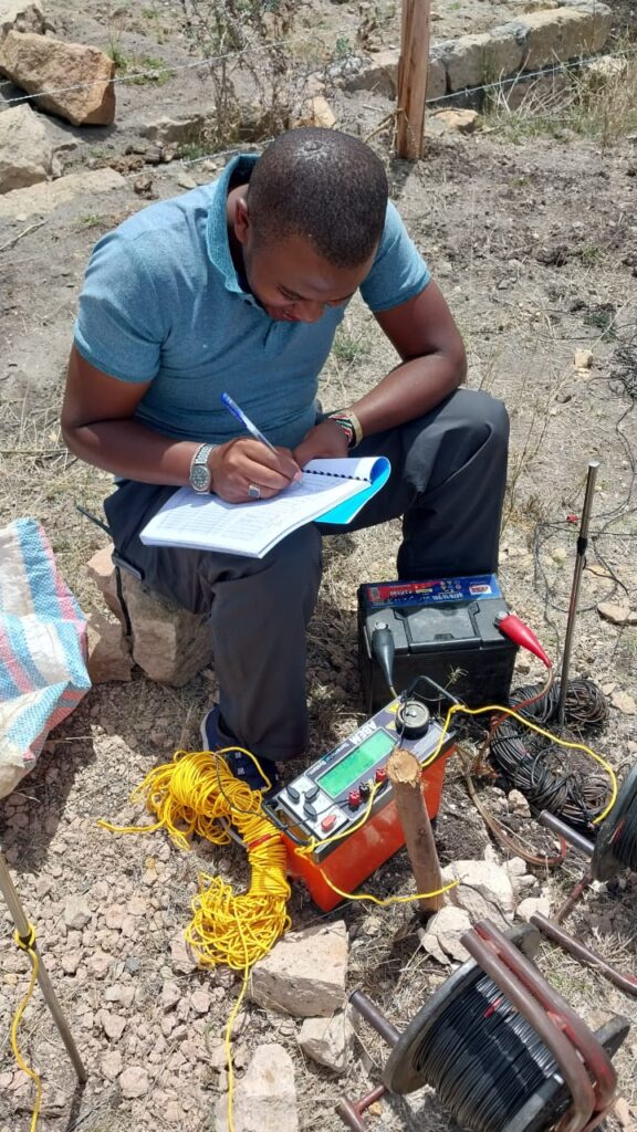
For hydrogeologists, water resource managers, and policymakers, satellite-derived groundwater trend data serves a distinct and complementary role to local-scale investigation. It’s not a substitute for detailed local hydrogeological studies, borehole monitoring, or resistivity surveys used in siting individual wells — but it provides essential regional context that local studies alone cannot offer: is this local trend part of a broader regional depletion pattern, or an isolated local issue? That distinction matters enormously for designing appropriate long-term water management policy, since a regional depletion trend calls for water demand management and recharge enhancement strategies, while an isolated local issue may simply require adjusted well spacing or pumping rates.
The Bottom Line
Satellite gravity data has given hydrogeology something it never had before: a consistent, global, decades-long record of how groundwater storage is actually changing, independent of the patchy coverage of ground monitoring networks. As climate variability increasingly affects rainfall patterns and recharge rates worldwide, that kind of large-scale, systematic monitoring capability isn’t just scientifically interesting — it’s becoming an essential input for responsible, forward-looking water resource management everywhere groundwater sustains communities and agriculture, East Africa included.