Environmental Impact Assessment (EIA)
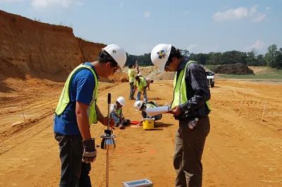
Whether you are building a borehole-fed farm, a quarry, a housing estate or a geothermal well pad, there is a
Environmental Impact Assessment (EIA) Read More »
 Skip to content
Whether you are building a borehole-fed farm, a quarry, a housing estate or a geothermal well pad, there is a
Environmental Impact Assessment (EIA) Read More »

A stereonet is a graphical method of representing three-dimensional orientation data on a two-dimensional circle. Imagine a transparent hemisphere, like
Stereonet Analysis in Structural Geology Read More »
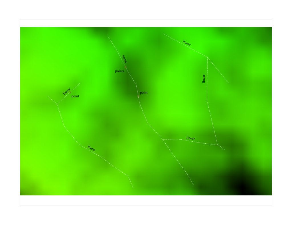
Satellite data offer several advantages. They provide regional coverage, allowing geologists to see large structures that span tens or hundreds
Structural Interpretation from Satellite Imagery Read More »
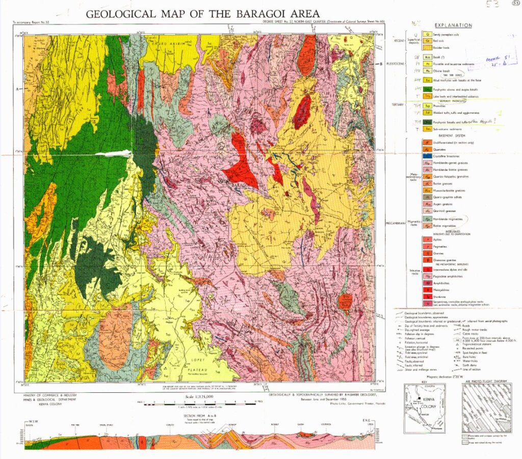
Systematic geological mapping of Kenya began in the colonial era and continued after independence under what was historically called the
Geological Map of Kenya Read More »

Western Kenya sits on the northern edge of the Lake Victoria Goldfields, one of Africa’s most productive gold provinces. Here,
Structural Mapping of Gold-Bearing Zones Read More »

Geology is one of the quieter professions in Kenya, yet it underpins water supply, geothermal power, mining, roads, housing, disaster
Geology Careers in Kenya Read More »

Kenya is best known for agriculture, tourism, technology and services, but its geology is varied and its mining sector is
Mining Sector Investment Guide for Kenya Read More »

Mining projects are developed in stages, and each stage is supported by a technical-economic study of increasing detail. Three terms
Pre-Feasibility vs Feasibility vs Scoping Studies Read More »
 Optimized by Seraphinite Accelerator
