Skip to content

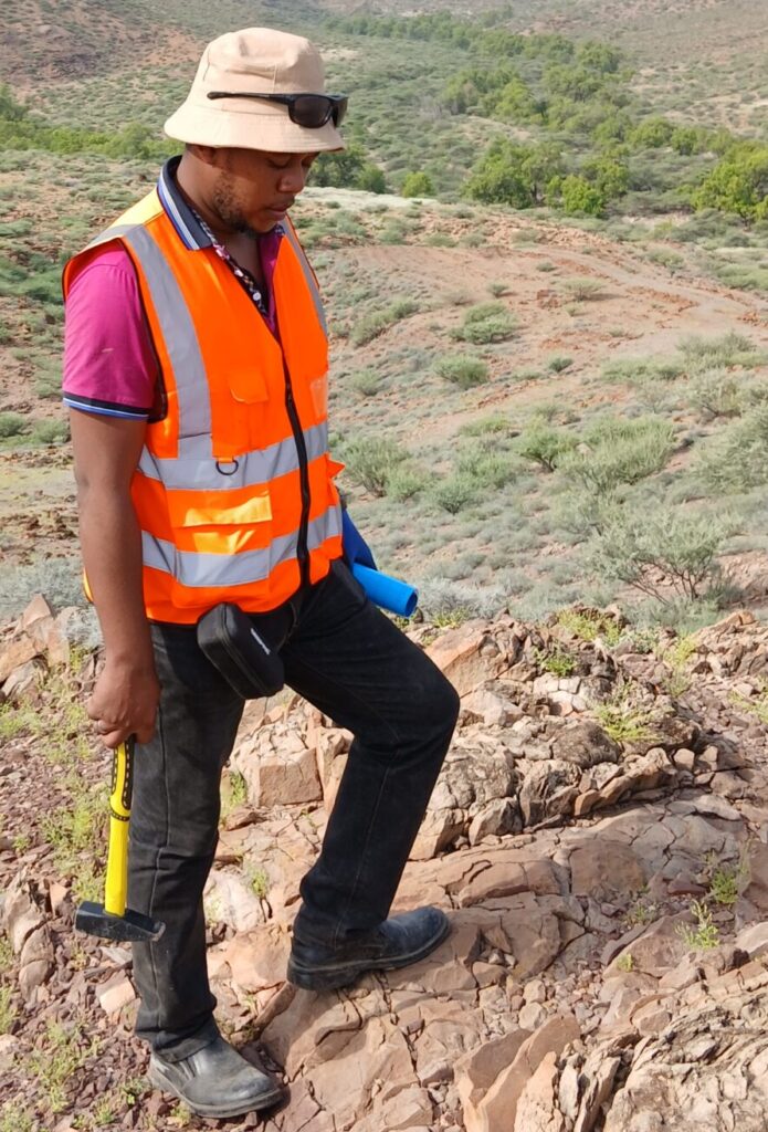
Rocks are rarely undisturbed. Over millions of years they are bent, broken, sheared, and displaced by tectonic forces. These deformation features, collectively called structures, control where minerals concentrate, where groundwater flows, where geothermal fluids rise, and where slopes and foundations fail. Kenya, crossed by the East African Rift and built on ancient, repeatedly deformed basement, is a natural laboratory for structural geology. A structural geology consultant translates this deformation history into practical decisions.
What Is Structural Geology?
Structural geology is the study of the three-dimensional geometry of rock bodies and the forces that shaped them. It describes faults, folds, shear zones, joints, foliation, lineation, and veins, and explains how and when they formed. The discipline relies on field measurement, remote sensing, geophysics, and drill-core data, which are integrated into maps, cross-sections, and models.
Key Structural Features Explained
Faults. Fractures along which rock has moved. Normal faults (extensional) dominate the Rift Valley, while strike-slip and reverse faults occur in older basement terrains.
Folds. Bends in layered rocks, formed by compression. Fold hinges often trap mineralising fluids.
Shear zones. Zones of intense ductile or brittle-ductile deformation. In Archaean greenstone belts, shear zones frequently host gold-bearing quartz veins.
Joints and fractures. Cracks without significant displacement. They provide pathways for groundwater and weaknesses for slope failure.
Foliation and lineation. Planar and linear fabrics in metamorphic rocks that record deformation direction and intensity.
Why Structures Matter in Mineral Exploration
Structures are the plumbing system of many ore deposits. Hydrothermal fluids move along faults and shear zones, and they deposit metals where permeability, pressure, and chemistry change. Typical favourable sites include:
- Dilational jogs and bends along strike-slip faults, where open space forms.
- Fold hinges and saddle reefs in folded sequences.
- Contacts between competent and incompetent rocks, where strain concentrates.
- Intersections of faults that create focused fluid flow.
A structural interpretation allows explorers to rank targets and orient drill holes so they cross mineralised structures at effective angles rather than running parallel to them.
Structural Geology in Hydrogeology
In crystalline basement and volcanic terrains, groundwater often resides in fractures rather than in intergranular pores. Mapping fracture density, orientation, and connectivity helps predict productive borehole sites. Lineament analysis from satellite imagery, followed by geophysical checks, can identify fault and fracture zones where water yields are higher. Structural knowledge also warns against drilling in tight, unfractured rock or in zones where fault gouge acts as a barrier.
Structural Geology in Geothermal Exploration
Kenya’s geothermal fields, including those in the Olkaria and Menengai areas, depend on faults and fracture networks that allow hot fluids to circulate. Structural mapping identifies permeable fault intersections, relays, and young fractures that are priority drill targets. Understanding stress orientation also guides well design and stimulation planning.
Structural Geology in Engineering and Geotechnical Work
Discontinuities control rock mass strength. Orientation of joints and faults relative to a slope, tunnel, or excavation determines whether wedge or planar failures may occur. Consultants use stereonet analysis and kinematic assessment to evaluate stability and recommend cut angles, support systems, and monitoring. Active faults also matter for seismic hazard in the Rift region, where infrastructure placement must consider fault proximity.
Methods Used by Structural Geologists
- Field structural mapping: Measuring strike, dip, plunge, and fault kinematics at outcrops.
- Stereographic analysis: Plotting orientation data to identify dominant sets and fold geometry.
- Remote sensing and DEM analysis: Detecting lineaments, scarps, and drainage offsets.
- Aeromagnetic and ground geophysics: Imaging faults and shear zones under cover.
- Oriented core and televiewer data: Measuring structures in drill holes.
- 3D structural modelling: Combining data to build models of fault networks and ore-controlling structures.
- Paleostress and kinematic analysis: Reconstructing how stress fields changed through time.
A Typical Structural Consulting Workflow
- Define the objective: Mineral targeting, borehole siting, slope stability, or geothermal assessment.
- Compile existing data: Maps, imagery, geophysics, and drilling records.
- Interpret remote sensing: Draft lineament and structural trend maps.
- Conduct field validation: Collect structural measurements and observe relationships.
- Build the structural model: Develop cross-sections and, where justified, 3D models.
- Deliver recommendations: Rank targets, suggest drill orientations, or propose engineering controls.
Common Pitfalls
- Treating all lineaments as faults without field verification.
- Ignoring multiple deformation phases that overprint each other.
- Drilling parallel to a mineralised structure and missing its true width.
- Using too few measurements to represent heterogeneous structure.
- Failing to link structures with geochemistry and geophysical data.
Benefits of Hiring a Specialist
A structural consultant helps clients improve drill success rates, reduce wasted metres, and manage ground risk. In exploration, even a modest improvement in target selection can save a substantial portion of a drilling budget. In construction, early identification of unfavourable discontinuities prevents redesign costs and safety incidents.
Conclusion
Structures are the hidden architecture of the Earth’s crust. Understanding them is essential to finding minerals, siting boreholes, developing geothermal resources, and building safely in Kenya’s tectonically active landscape.
Innercore Geoconsultants Services Limited offers structural geology consultancy supported by field mapping, remote sensing, and geophysics. Contact us to include structural analysis in your next project.