Skip to content

Kenya is a global leader in geothermal energy. Geothermal power provides a large share of the country’s electricity generation, drawing on high-temperature resources in the East African Rift, notably at Olkaria, Menengai, and other prospects in the Rift Valley. Developing these resources is capital-intensive, and the greatest financial risk lies in the early stage: proving that a hot, permeable, fluid-bearing reservoir actually exists. Geothermal exploration is the process of reducing that risk before expensive drilling begins.
How Geothermal Systems Work
A conventional geothermal system needs four ingredients:
- A heat source: In Kenya, typically young volcanic bodies, magma chambers, or hot intrusions beneath the Rift.
- A reservoir: Permeable rock that stores hot water or steam.
- A recharge: Rainfall and groundwater that replenish the system.
- A cap rock: A low-permeability layer, often hydrothermally altered clay, that traps heat and fluids.
Faults and fractures provide the permeability that allows fluids to circulate and be produced through wells.
Stages of Geothermal Exploration
1. Reconnaissance and desk study. Regional geology, volcanic history, tectonic setting, existing geoscientific data, and surface manifestations such as hot springs, fumaroles, and altered ground are reviewed to select prospect areas.
2. Surface exploration. A suite of complementary studies builds a conceptual model:
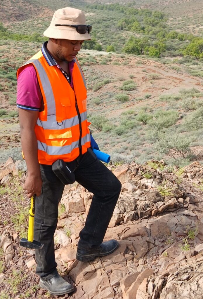
- Geological and structural mapping identifies volcanic centres, faults, eruptive history, and hydrothermal alteration.
- Geochemical surveys sample hot springs and fumaroles. Water and gas chemistry, including geothermometers based on silica, sodium, potassium, and magnesium, provide estimates of reservoir temperature and fluid origin. Soil gas surveys (such as CO2 and radon) can map permeable structures.
- Geophysical surveys image the subsurface:
- Magnetotellurics (MT) and transient electromagnetics (TEM) detect low-resistivity clay caps and conductive reservoir zones.
- Gravity surveys reveal dense intrusions and structural features.
- Magnetic surveys highlight demagnetised zones where hydrothermal alteration has destroyed magnetic minerals.
- Passive seismic monitoring identifies microseismic activity associated with fluid movement.
- Remote sensing maps alteration, surface temperature anomalies, and structural patterns.
3. Conceptual model and target selection. Results are integrated into a conceptual model that describes the heat source, reservoir, flow paths, and boundaries. Drilling targets are selected where permeability, temperature, and fluid supply are most likely to coincide.
4. Exploration and appraisal drilling. Slim holes or full-size wells test the model. Drilling provides direct data on temperature, pressure, rock type, alteration, permeability, and fluid chemistry. Well testing, including injection and discharge tests, establishes productivity.
5. Resource assessment. Data are used to estimate the energy potential, often with volumetric methods and numerical reservoir simulation, to support decisions on power plant size and development phasing.
Why Exploration Reduces Risk
Drilling a single deep geothermal well can cost millions of US dollars. Surface exploration costs are much smaller, yet they can eliminate poor sites and improve the probability of drilling success. The best exploration programmes quantify uncertainty at each stage and use clear decision gates.
Direct-Use Applications
Not all geothermal resources are for power. Lower-temperature resources can serve direct uses, such as greenhouse heating, crop and fish drying, milk pasteurisation, cold storage, and spas. Kenya’s flower and horticulture industry, for example, has benefited from geothermal heat and steam in the Naivasha area. Exploration for direct-use applications may involve simpler methods, but still requires geological, geochemical, and hydrological assessment.
Regulatory and Institutional Context
Geothermal development in Kenya is governed by energy sector legislation, with state agencies and private developers active in exploration and production. Developers must obtain relevant licences, comply with environmental and social impact assessment requirements, and engage communities, particularly in pastoralist areas where land and water use are sensitive. Early engagement and transparent benefit-sharing improve project acceptance.
Environmental and Social Considerations
- Water use and effluent management: Geothermal fluids can contain dissolved minerals and gases, so reinjection and careful disposal are important.
- Gas emissions: Mostly CO2 and hydrogen sulphide, usually low compared with fossil fuel plants but requiring monitoring.
- Land use and biodiversity: Well pads, roads, and pipelines affect habitats, so siting must minimise disturbance.
- Induced seismicity: Monitoring is recommended during injection and production.
- Community livelihoods: Grazing, water, and cultural sites must be respected.
Common Challenges in Exploration
- High cost and long lead times before returns.
- Limited data in new prospects.
- Difficulty interpreting resistivity in complex volcanic settings.
- Silica scaling and corrosive fluids, which affect resource use.
- Risk of non-commercial wells despite promising surface indicators.
What Clients Should Expect from a Geothermal Consultant
A competent consultant will define a staged programme, integrate multiple datasets, quantify uncertainty, and deliver a clear conceptual model with drilling recommendations. Reports should state assumptions, limitations, and confidence levels, rather than relying on a single technique.
Conclusion
Geothermal exploration is a disciplined process of reducing uncertainty about heat, permeability, and fluids. Kenya’s Rift offers significant opportunities for power generation and direct use, but success depends on rigorous science and careful engagement with communities and the environment.
Innercore Geoconsultants Services Limited supports geothermal projects with geological and structural mapping, geochemical interpretation, geophysical integration, and conceptual modelling. Contact us to evaluate a geothermal prospect.