Skip to content


Groundwater exploration is the targeted search for productive aquifers. It goes beyond choosing a point to drill: it asks which aquifer to target, how large and sustainable it is, and what quality of water to expect. In Kenya, where many communities, farms, and industries depend on boreholes, systematic groundwater exploration is the difference between a reliable supply and an expensive dry hole.
Understanding Aquifers
An aquifer is a body of rock or sediment that stores and transmits useful quantities of water. Good aquifers combine porosity (space to store water) with permeability (ability to let water move). Exploration aims to find where these properties are best developed, and where recharge is sufficient to sustain abstraction.
Confined and unconfined aquifers. Unconfined aquifers have a water table open to recharge from above, while confined aquifers are bounded by low-permeability layers and may be under pressure. Confined aquifers can deliver artesian conditions and often provide more stable supplies but may be slower to recharge.
Primary and secondary porosity. Sands and gravels have primary porosity between grains. Crystalline and volcanic rocks rely mainly on secondary porosity from fractures and weathering.
The Exploration Workflow
Regional appraisal. Review hydrogeological maps, rainfall, recharge areas, and existing borehole data to identify the aquifer systems in the area.
Remote sensing. Interpretation of satellite imagery highlights lineaments, drainage patterns, vegetation anomalies, and geomorphological features that may relate to groundwater occurrence.
Geological mapping. Identifies rock types, contacts, faults, and weathering profiles that influence aquifer development.
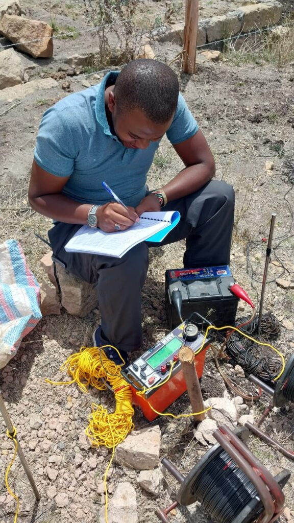
Geophysical surveys. Provide subsurface information that surface observation cannot:
- Vertical Electrical Sounding (VES): Measures how resistivity changes with depth at a single location.
- Electrical Resistivity Tomography (ERT): Produces two-dimensional images of resistivity, revealing fractures, weathered layers, and aquifer geometry.
- Electromagnetic methods: Useful for mapping conductive zones, clays, and saline groundwater.
- Magnetic surveys: Help map faults, dykes, and basement structure that influence flow.
- Seismic refraction: Estimates the thickness of weathered layers and depth to bedrock.
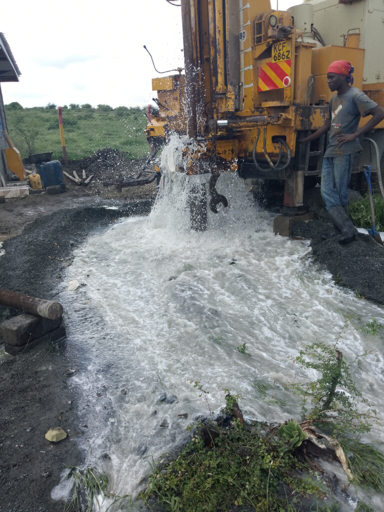
Exploratory drilling and logging. Test boreholes provide direct information on lithology, water strikes, and yields. Geophysical well logging can refine aquifer interpretation.
Pumping tests. Constant-rate and step-drawdown tests establish yield, drawdown behaviour, and aquifer parameters.
Groundwater sampling and analysis. Chemical and bacteriological analysis confirms suitability for domestic, livestock, irrigation, or industrial use.
Exploration in Different Kenyan Settings
Arid and semi-arid lands (ASALs). Recharge is low and episodic, often occurring during flood events along seasonal rivers. Alluvial aquifers and deep sedimentary aquifers are major targets, but salinity and sustainability must be examined carefully.
Rift Valley. Faults control groundwater flow and chemistry. Hot springs, saline or fluoride-rich waters, and rapid lateral changes in geology demand careful siting and water quality testing.
Highlands and volcanic slopes. Rainfall is higher and springs are common, but deep fractured volcanic aquifers may require deeper drilling.
Basement terrains. Yield depends on the thickness of weathered material and the density of connected fractures. Geophysics is particularly valuable here.
Coastal zone. Freshwater lenses overlie saltwater, so over-pumping can cause intrusion. Wellfield design and monitoring are vital.
Reading Geophysical Results Correctly
Resistivity depends on rock type, porosity, water content, and water salinity. Low resistivity can mean fractured water-bearing rock, but it can also mean clay or saline water. High resistivity may indicate fresh, compact rock or dry gravel. Interpretation must therefore be calibrated against geology and borehole data rather than read in isolation. This is why experienced hydrogeologists integrate multiple lines of evidence.
Estimating Sustainable Yield
A borehole that yields well for a week may not yield well for years. Sustainable yield depends on recharge, aquifer storage, abstraction by neighbours, and drought cycles. Exploration should therefore include water level monitoring and, for larger schemes, groundwater modelling. Abstraction beyond sustainable limits can lower water tables and degrade quality.
Managing Risk
- Dry holes: Reduce through geology and geophysics.
- Low yield: Anticipate by understanding aquifer properties and drilling to appropriate depth.
- Poor quality: Test early and plan for treatment where necessary.
- Borehole collapse or clogging: Use appropriate casing, screens, gravel pack, and development.
- Conflicts with neighbours: Consider interference effects and follow licensing rules.
Costs and Value
Exploration costs depend on area, methods, and drilling depth. While exploration adds upfront cost, it commonly reduces total project cost by avoiding failed holes and by guiding correct design of the borehole and pump system.
Conclusion
Groundwater exploration is a data-driven process that combines geology, geophysics, drilling, and testing. Done well, it delivers reliable, sustainable water supplies and protects aquifers for the long term.
Innercore Geoconsultants Services Limited provides groundwater exploration, geophysical surveys, and drilling supervision across Kenya. Contact us to plan an exploration programme for your water project.